
Welcome to Walker’s reach
Welcome to Walker’s Reach
On behalf of Madlee Developments Ltd, B&A has submitted planning applications for Walker’s Reach – a vibrant new neighbourhood planned for the current Heidelberg gravel extraction site, marking an exciting new chapter for the area.
Thank you for attending the Public Open House held on June 25, 2026.
If you were unable to attend, or would like to revisit the information boards, click here. Looking to share your feedback? Complete the online feedback form by July 10.

ABOUT WALKER’S REACH
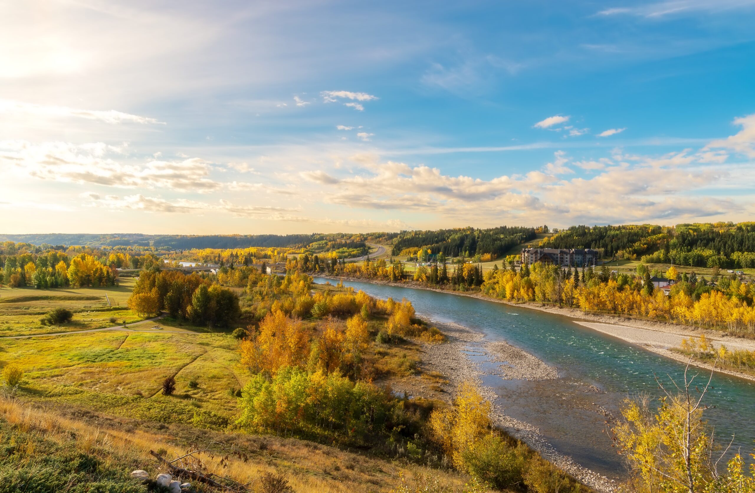
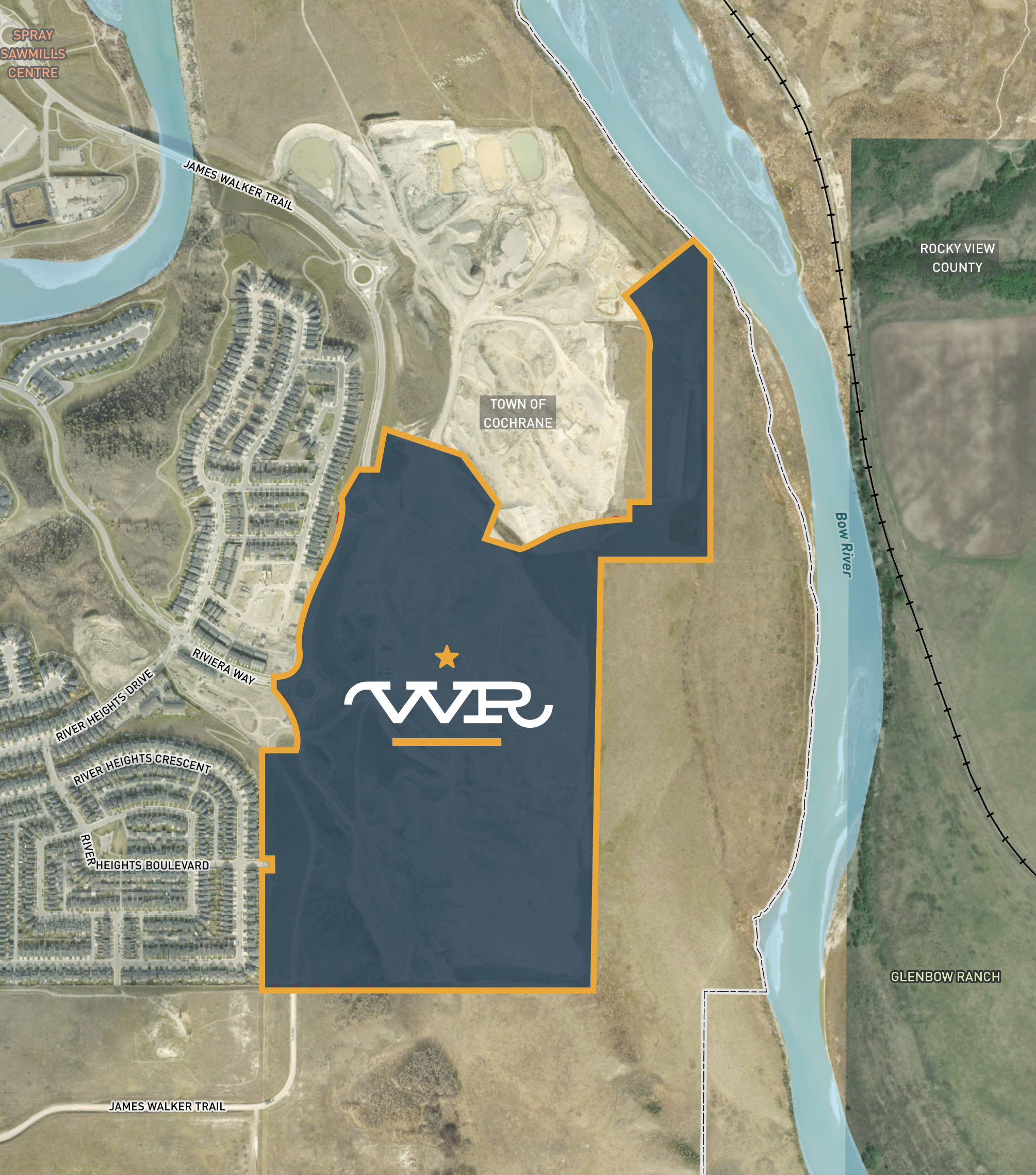
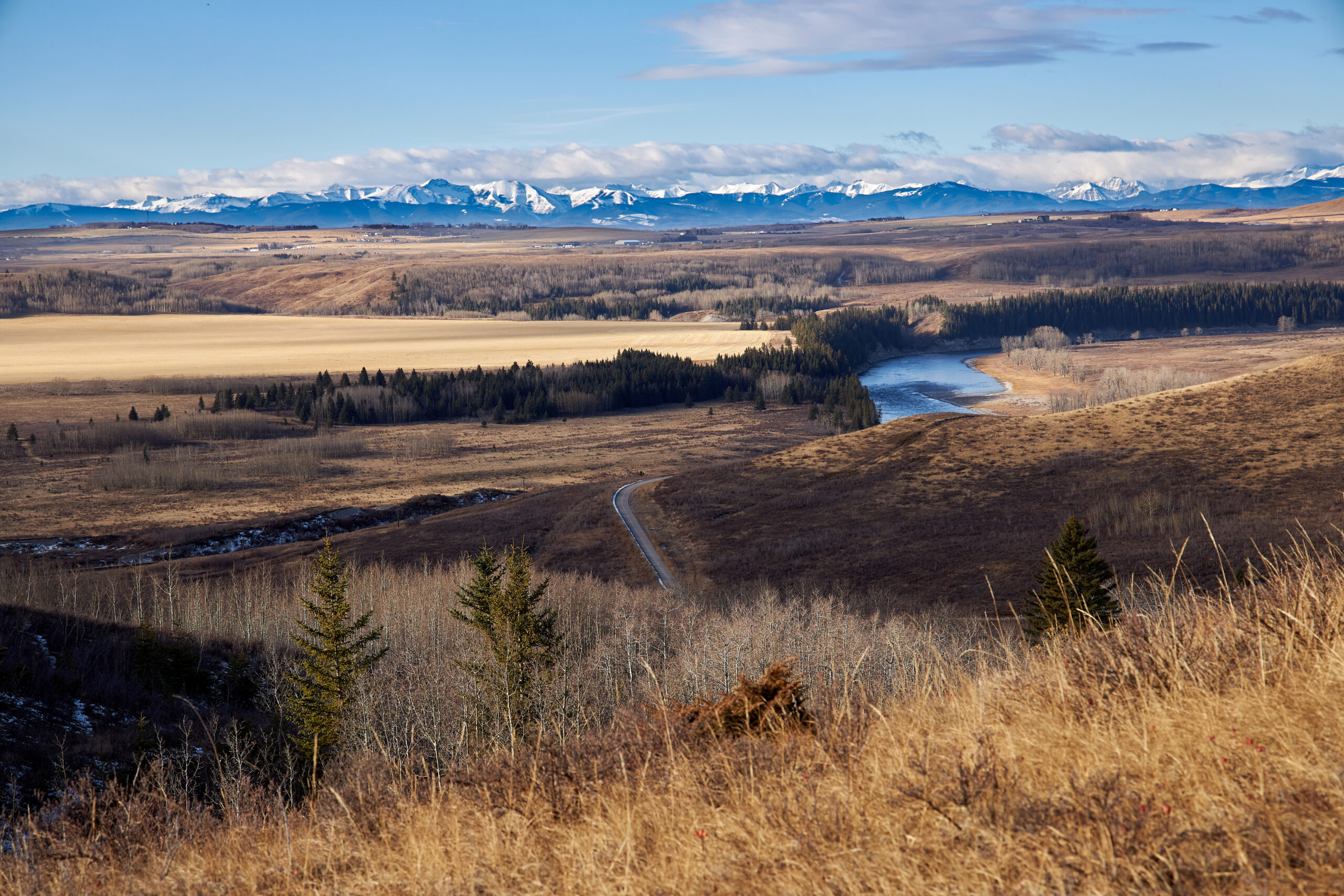
Walker’s Reach is located on the southeast side of the Town of Cochrane. The site’s northern peninsula is bordered by the Bow River, with views of the river valley and looking onto Glenbow Ranch Provincial Park. Walker’s Reach draws its name from Cochrane’s rich ranching history, its natural surroundings and its proximity to James Walker Trail. James Walker was a prominent figure in the town’s ranching community. The word “reach” describes both a stretch of river and, in sailing days, the distance one could travel in a day. Together, they tell the story of a community rooted in heritage and shaped by the river’s edge.
Land Use Applications
To reflect the changing use of the site, new planning applications are required to shape the future neighbourhood:
Walker’s Reach is currently within the Southridge Area Structure Plan (ASP), a 1994 document guiding land use, parks, open space and transportation at the community scale. To align with more current plans – including Envision Cochrane 2050 (2025), Cochrane Sustainability Plan (2009), and Open Space Master Plan (2012) – the Town of Cochrane requested that Walker’s Reach be included in the adjacent River Heights ASP, rather than amending the Southridge ASP. Proposed amendments were brought forward in April 2024 for the River Heights ASP to update the maps and include the future Walker’s Reach neighbourhood in the policies.
Further revisions to these applications were submitted to the Town in October 2025. Policies from the Southridge ASP about scenic vistas, maintaining natural areas, and wildlife movement within the Bow Valley have been included in the revisions to the River Heights ASP.
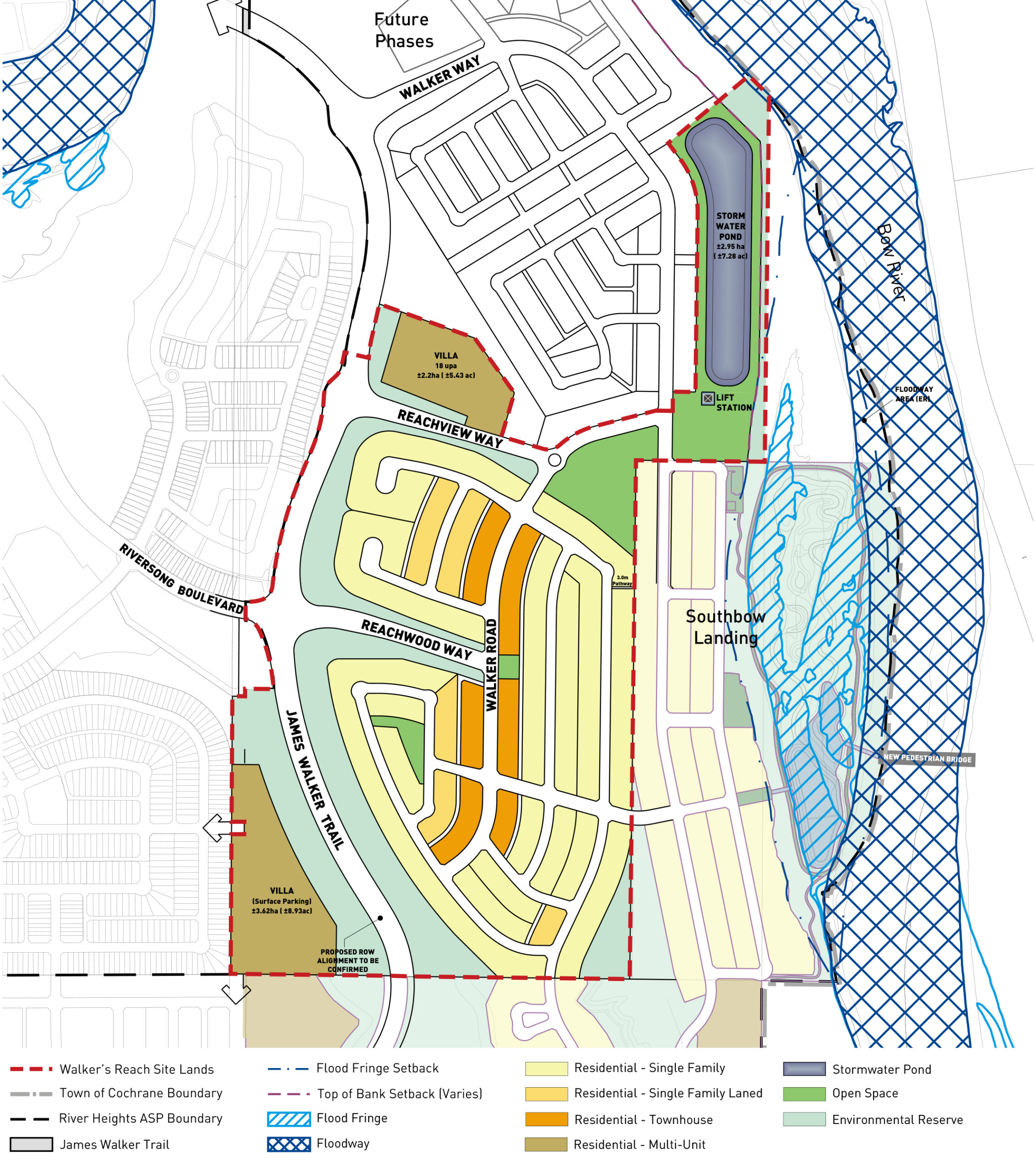
Walker’s Reach Neighbourhood Plan 1 is the first Neighourhood Plan (NP) that will be submitted to the Town of Cochrane to facilitate the development of the new community.
Frequently Asked Questions
We know you may have questions. Our FAQs are here to provide clarity about the project and land use process.
Next Steps
Land use planning is an iterative process. In Spring of 2025, the Town provided its comments on the 2024 ASP and NP applications. The project team has been working to address the comments received on the application. The following are the next steps in the planning process:
Public Engagement
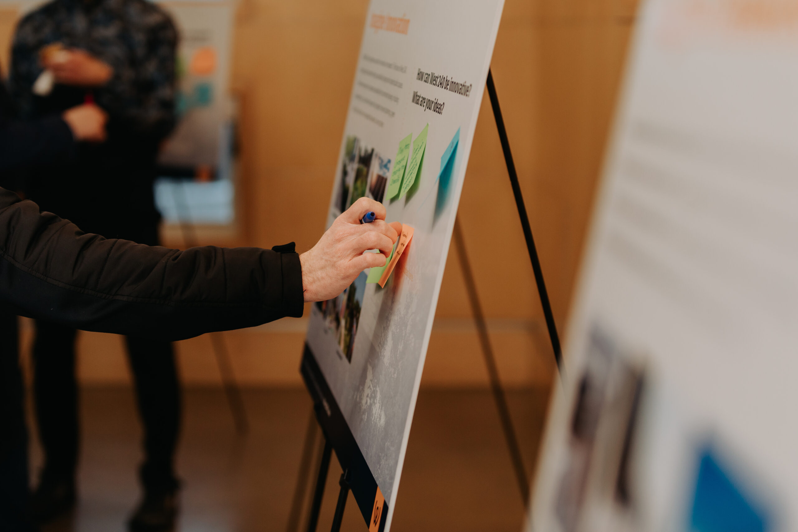
On June 25, 2026, Madlee Developments and B&A (land planning consultants) hosted a Public Open House at St. Mary’s Church. We welcome you to submit your feedback on the proposed Neighbourhood Plan. Share your thoughts by June 10, 2026.

Contact Us
Please reach out to our Engagement Specialist, Leah Thomson at lthomson@bastudios.ca if you have any questions or comments regarding the land use applications: Use the form below to sign up for email updates about upcoming engagement opportunities and project milestones.